
CLEVELAND — What a gorgeous start to the week! Sunshine, 60s... NE Ohio Spring at its finest.
Tonight will be mostly clear and calm with lows in the 40s.
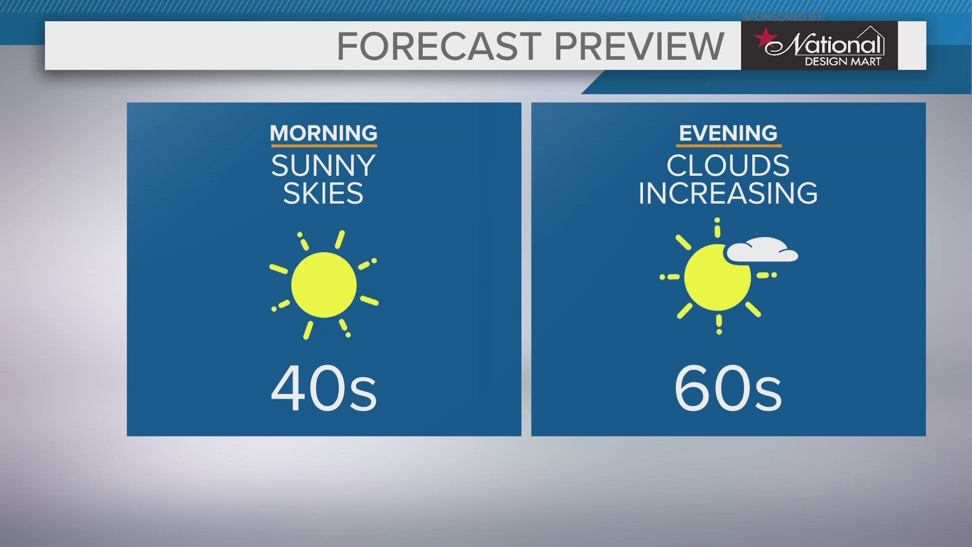
Tomorrow we will add more clouds to the equation, but it will remain lovely as temperatures climb back into the 60s. Partly cloudy skies much of the day with more clouds towards evening. Rain moves in late tomorrow night. towards daybreak Wednesday.
Your next heads up will be Wednesday, when things get a bit more active again. Temperatures will climb into the low 70s with the warm front sliding through and that is going to trigger those rain showers and thunderstorms. Expect the rain to be steady at times, too. Some thunderstorms could be stronger later in the day with gusty winds.
Looking ahead to the rest of the work week, it looks like you will have to dodge some more rain at times on Thursday and Friday.
We will be drying out for the weekend, and trending a little cool.
3 DAY FORECAST
TONIGHT: Mainly clear. 40s
TUESDAY: Sun and clouds. More clouds building late day. Upper 60s.
WEDNESDAY: Rain showers and potential thunderstorms. Low 70s
Stay weather ready! Here are some quick weather resources you can use:
---------------------------------------------------------------------------------------------------
Get more weather from the 3News Weather team of Betsy Kling (@betsykling), Matt Wintz (@WintzWeather), Anthony Copeland (@WeatherManAC) and Hollie Strano (@holliesmiles)
►MORE WEATHER | Get the latest weather headlines, video, photos & more
►ENVIRONMENT NEWS | Find out more about the world around us
►EARTH & SPACE NEWS | Learn more about our planet and outer space
►WEATHER FEATURES | Read our weather guides, storm reports & more
MORE WEATHER-RELATED HEADLINES: