
CLEVELAND — Temperatures are finally back above average and they are going to stay that way. Much warmer tonight as lows only drop back into the 50s. Increasing clouds this evening and eventually a few showers/rumbles after midnight.
Some of those could linger for the first half of Saturday, but then it looks like a great rest of the weekend. Mid 70s with breezy winds Saturday and low 80s on Sunday with just a chance for a stray shower/storm. It should be feeling like summer!
Temperatures stay above average into the new work and school week with highs in the 70s to near 80 each day. A few showers/storms possible later Monday into early Tuesday and we'll keep at least a chance for rain in the forecast through the end of the work and school week.
3 DAY FORECAST
TONIGHT: Increasing clouds. A few showers/rumbles. Much warmer. 50s
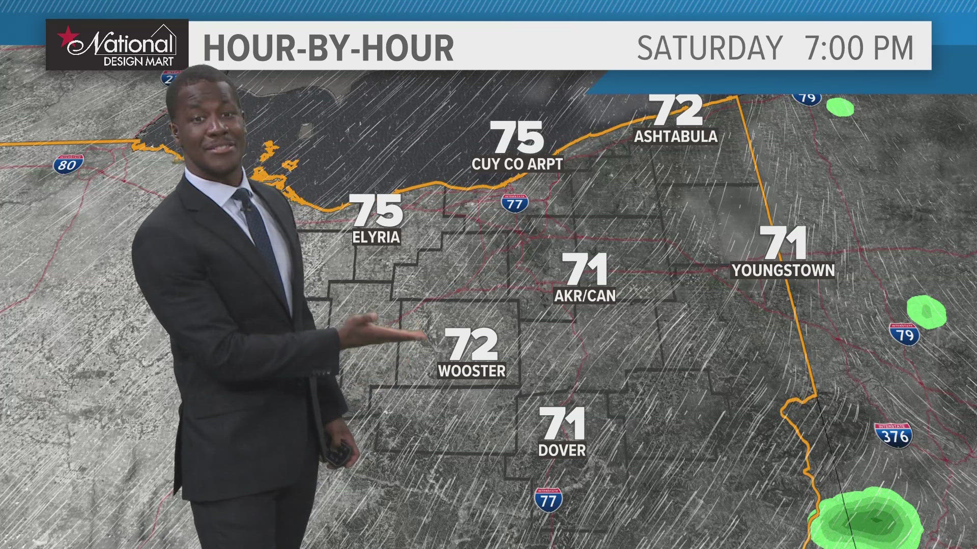
SATURDAY: Morning rain and storms and then isolated PM storms with some sunshine. Warm day. Mid 70s.
SUNDAY: Warm day with a stray shower/storm possible. Low 80s.
MONDAY: Still warm with rain chances later on. Low 80s.
Here are some quick weather resources you can use:
---------------------------------------------------------------------------------------------------
Get more weather from the 3News Weather team of Betsy Kling (@betsykling), Matt Wintz (@WintzWeather), Anthony Copeland (@WeatherManAC) and Hollie Strano (@holliesmiles)
►MORE WEATHER | Get the latest weather headlines, video, photos & more
►ENVIRONMENT NEWS | Find out more about the world around us
►EARTH & SPACE NEWS | Learn more about our planet and outer space
►WEATHER FEATURES | Read our weather guides, storm reports & more
MORE WEATHER-RELATED HEADLINES: