
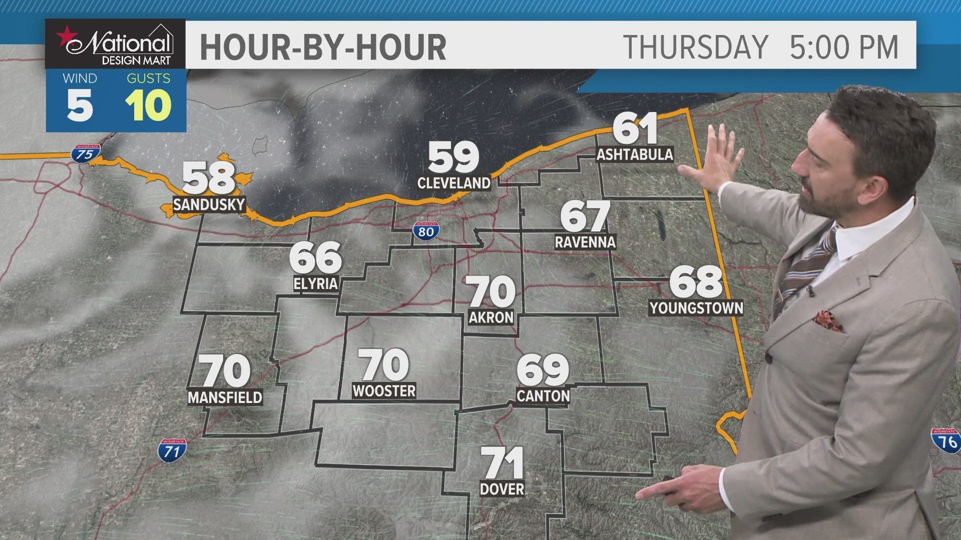
CLEVELAND — We'll get a nice break from active weather today with a mix of clouds with some sunshine expected. Temps will be comfortable as well as we push into the mid and upper 60s. It will be much cooler near the lakeshore, especially east of Cleveland as a west-northwest wind blows that cooler air well inland off Lake Erie.

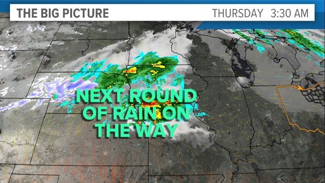
Our next storm system quickly arrives tonight with a few downpours and a rumble of thunder or two possible. We'll wake up to some wet weather Friday morning before skies begin to gradually clear out. Temps Friday will reach their highs Friday morning before spending most of the day in the 50s with a bit of a breeze!

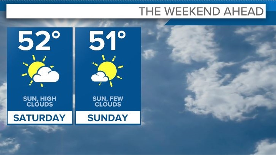
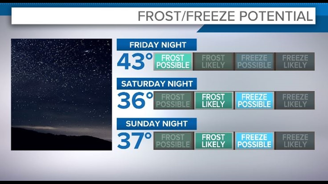
In terms of the weekend, much cooler air arrives and will bring some chilly mornings with frost potential (and even freeze potential in outlying locations) and cooler, breezy days. We'll begin to recover early next week before another shot of cooler air arrives by the middle of next week.

3 DAY FORECAST
TODAY: A mix of sun and clouds. Cooler, but pleasant. Mid to upper 60s.
FRIDAY: Early rain then gradual clearing. Turning cooler. Upper 50s.
SATURDAY: Some clouds & sun. Mid 50s.
Stay weather ready! Here are some quick weather resources you can use:
---------------------------------------------------------------------------------------------------
Get more weather from the 3News Weather team of Betsy Kling (@betsykling), Matt Wintz (@WintzWeather), Anthony Copeland (@WeatherManAC) and Hollie Strano (@holliesmiles)
►MORE WEATHER | Get the latest weather headlines, video, photos & more
►ENVIRONMENT NEWS | Find out more about the world around us
►EARTH & SPACE NEWS | Learn more about our planet and outer space
►WEATHER FEATURES | Read our weather guides, storm reports & more
MORE WEATHER-RELATED HEADLINES: